
Concluding this three-part photo-tour of Martha's Vineyard, an informal look for the filming locations for Jaws (1975).
VINEYARD HAVEN
At the end of Part 2, we were at the far west point of the island at Gay Head Cliffs, an area also called Aquinnah. We drove back across the island heading north to Vineyard Haven, a small town on the west side of a large natural harbour.

This was a far smaller town than it sounded in the guide book, but it's one of the busiest places on the island, with two docks for the huge car ferries from the mainland. Therefore, this is the most likely location for the 'tourists on the menu' montage in Jaws.

EAST CHOP
 |
| East Chop lighthouse |
 |
| Next door to the Brody house |
This house isn't in the film, but it's between the lighthouse and the house used as the Brody family house in Jaws. I'm guessing that the location scout first suggested these houses because they were close to the picturesque lighthouse.  |
| The Brody house |
 |
| Rear veranda just visible (which has a view of their jetty) |
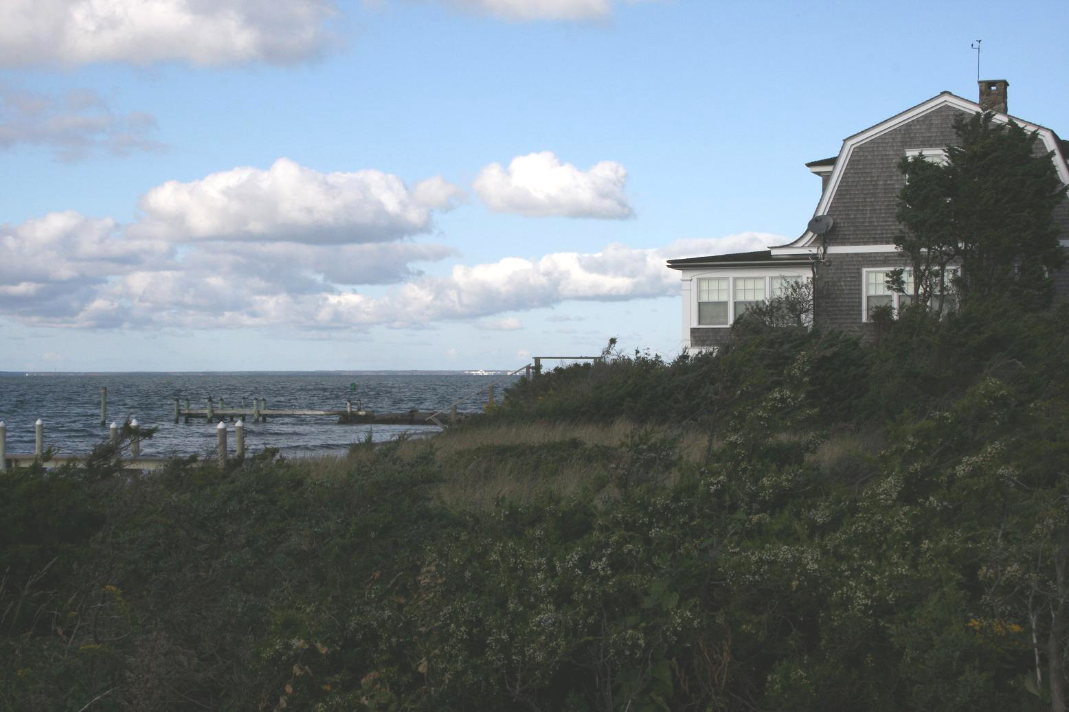 |
| Other end of the veranda, and their private jetty (the far one) |
 |
| The jetty closest to the house is in a state of disrepair - this should be where Michael Brody's birthday present was moored |
STATE BEACH
Taking the coast road south from East Chop to Edgartown takes you along a long sandbar which needs two bridges to complete it as a roadway. The larger of the two bridges (the more southern of the two) was made famous in the film, where the shark enters 'the pond' while a false alarm distracts the police patrols.
This beach and the bay are the reason Jaws was filmed here on Martha's Vineyard, as the water is very shallow for a long way out. Meaning that the huge tracking mechanism for the shark could be easily laid in shallow water, for both the beach and 'at sea' scenes. The huge wide bay was relatively sheltered from crosswinds and currents, but the horizon could still be clear of land, to maintain the illusion that they were filming far out at sea.
This beach and the bay are the reason Jaws was filmed here on Martha's Vineyard, as the water is very shallow for a long way out. Meaning that the huge tracking mechanism for the shark could be easily laid in shallow water, for both the beach and 'at sea' scenes. The huge wide bay was relatively sheltered from crosswinds and currents, but the horizon could still be clear of land, to maintain the illusion that they were filming far out at sea.
 |
| State Beach, looking north - land curves round the horizon, sheltering the bay |
This beach was used in two major scenes. The shark attack witnessed by Chief Brody while he's relaxing with his wife, and the crowded beach scenes set on July 4th. The bandstand and the brightly colour-striped cabanas were all built for the film, but all there is to see now is sand and sea. Who knows exactly where Spielberg filmed his electrifying reverse-zoom close-up of Roy Scheider. 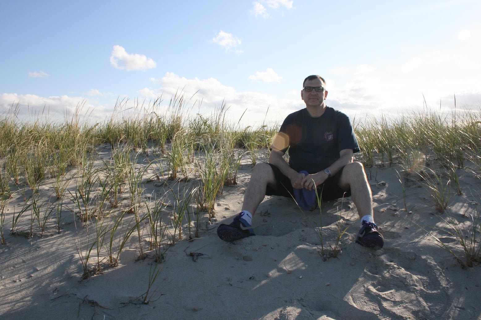 |
| Guessing where Scheider had his back rub |
 |
| Reverse angle - this sea saw a lot of action |
Behind most of the length of the beach is a long stretch of water called Sengekontacket Pond. The action in 'the pond' is easier to pinpoint, where Brody's son meets the shark while sailing with two friends, and the policeman's desperate run to try and help him after being distracted by the stampede. Brody runs along the bridge and jumps over the side onto a much smaller beach by the entrance to the pond.
The rocky breakwaters, the bridge and the channel into the pond have recently been remodelled though. I was disappointed that the distinctive wooden supports for the bridge are now concrete pillars.
The rocky breakwaters, the bridge and the channel into the pond have recently been remodelled though. I was disappointed that the distinctive wooden supports for the bridge are now concrete pillars.
 |
| The bridge leading to the pond - the beach with the woman artist is at top left, "Sh... sh... shark!" |
 |
| The bridge supports are no longer wooden - dense trees surround the pond at the rear |
 |
| Brody runs down along here to get to the pond - I've no idea why I'm leaning like that |
 |
| Looking south across the channel at the 'artist's beach' and beyond |
 |
| The artist's beach - the bridge is at right - note how the bay stretches round the horizon |
 |
| On the bridge, looking south - pond is on the right |
 |
| On the bridge, looking at State Beach, guessing where the bandstand stood |
 |
| The beach seems much deeper than it was in the film |
 |
| View from the artist's beach, looking across the channel |
 |
| On the artist's beach, the pond can be seen at top |

I wanted a shot of me standing here, blocking one of the most chilling angles in the film, when the shark submerges in this channel to go under the bridge and into the pond. To learn how they shot that, you'll need to read Memories from Martha's Vineyard.
 |
| Chief Brody can't have read this |
 |
| The pond side of the bridge, recently remodelled |
 |
| Reverse view, a small beach looking over the pond - I thought this might be where the girl bathers see the boys in trouble |
OAK BLUFFS
On our final morning, we left the island on a small ferry from Oak Bluffs. I don't think this town was seen in the film, but it's the largest town on Martha's Vineyard, with the prettiest buildings on the island, making it the most usual tourist destination for daytrippers.

Oak Bluffs car ferry dock

 |
| Best Jaws souvenir shop on the island! (Closed on Mondays) |
Just down from the harbour, on Spring Street, this shop makes a point of selling the best Jaws souvenirs. Of course, it was shut the day we were there. I suppose that gives us an excuse to go back!
Compared to some other of our 'location tours', we often had to use our imaginations. I spent a few moments at each spot, staring out to sea aimlessly wondering if that patch of water had seen any action. How desperate! For all I knew, we could have been in the wrong place at various parts of this tour. But I think we saw most of the locations that are still identifiable.

But this trip has further cemented my love for Jaws, appreciating how much was made out of so little. Some films use spectacular locations for impressive imagery. Making a spectacular film full of unforgettable images in a quiet seaside town takes special talent.
Again, it was weird to visit a place for the first time that was already so familiar. Thankfully, no teenage impressions have been smashed - the visit didn't reveal any outrageous 'cheating' or disappointments. Just a wider view of a place I first saw through a letterbox.
Jaws tour - part 1: Edgartown - the heart of Amity Island
Jaws tour - part 2: bonfire beach, Katama Bay, Quint's dock
The making of Jaws - a look at the books and documentaries
My notes on the film
( All photographs in this post are copyright of Mark Hodgson and David Tarrington © 2011 )
No menemsha stop? Completely had no idea that JAWS location tours was even a thing. We happened upon a couple of locations and used the internet to help us find others all before and on the 4th of July. It was fun!
ReplyDelete